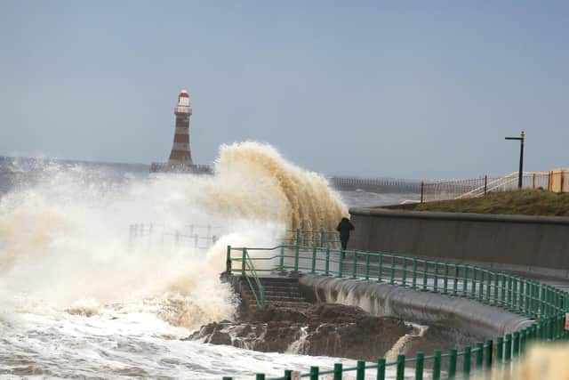
Why the North East is experiencing so many storms as the fifth storm hits the region since November
and live on Freeview channel 276
An amber weather warning for high winds has been issued across the North East from 6pm on Wednesday, February 16 until 9am on Thursday, February 17, with a further yellow weather warning to remain in place until 9pm on Friday, February 18.
Very strong winds are expected to hit the region with gusts of up to 60-to-70mph, as coastal areas could see gusts up 80-to-90mph.
Advertisement
Hide AdAdvertisement
Hide AdStorm Dudley will be the fifth storm to hit the region since November last year.


The most recent storm follows Corrie on January 29, Malik on January 28, Barra on December 5 and Arwen on November 25.
Weather experts say storms are ‘very complex systems’ that play an important role in the transport of heat and energy across the world and a small change in regional and global patterns can have a huge impact.
Met Office forecasters explained that these small changes such as sea surface temperatures, position and strength of the polar jet stream, which influences UK weather, and extent of sea ice are likely to be caused by climate change.
Advertisement
Hide AdAdvertisement
Hide AdHowever, there is very little evidence linking storms and climate change.
A Met Office spokesperson said: “Due to the lack of any observed trends, there haven’t been any studies so far which provide a link between changes in UK storminess and climate change.
"Coastal flooding from storms is expected to increase under climate change due to rising sea levels, worsening the impacts of storm surges. Without adaptation, there is a risk weaker storms could lead to coastal flooding where they wouldn’t have in the past.”
According to the University of Plymouth the increase of winter storms in the UK is due to a strong front (a boundary separating air masses of different characteristics) of contrasting temperature between cold air over the north Atlantic and warmer air further south.
Experts at the University say this strong temperature contrast across the Atlantic causes storms to form around the front, as hot and cold air circulates and mixes and tries to find a balance.
This similar to when cold water is added into a hot bath – the cold water will form a boundary (a front) with the hot water, which must be mixed more evenly to make a comfortable balance of temperatures.
Advertisement
Hide AdAdvertisement
Hide AdA spokesperson said: “We have experienced a succession of deep Atlantic low pressure systems caused by a strong high level jet stream in the upper atmosphere.
"Add wind into the mix, which is also driven by strong contrasting temperatures, and this is why very wet and windy weather has been brought to parts of the UK during recent winters.”

