This is what the North East can expect from the weather as first snow falls on region
and live on Freeview channel 276
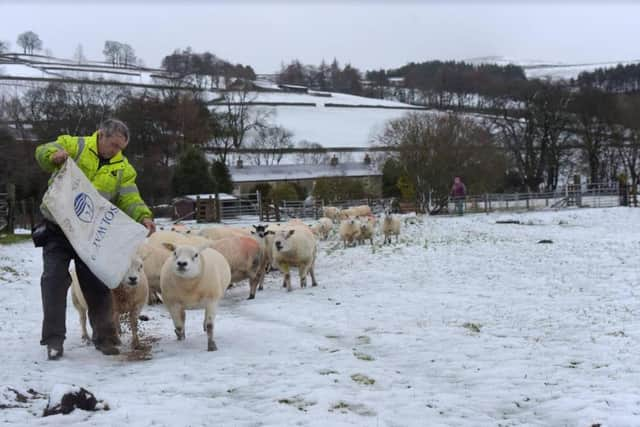
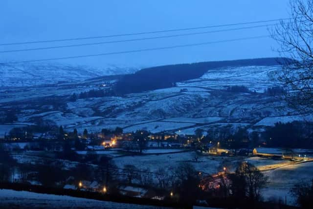
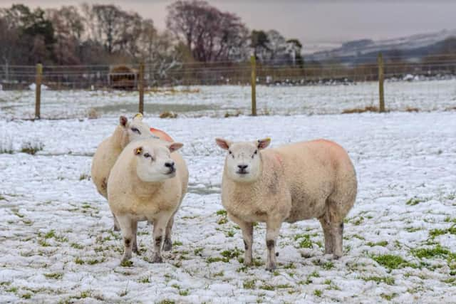
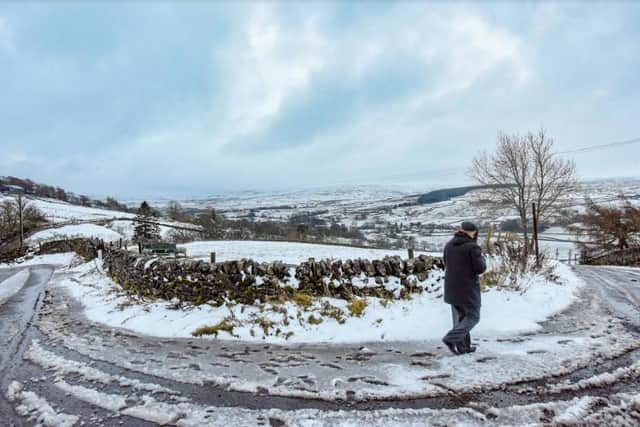
The shots were taken in Weardale in County Durham, with more snow forecast for the region overnight today, Friday, December 4.
The Met Office forecast for this evening and into the early hours predicts cloud and spells of rain, turning to snow on higher ground.
Advertisement
Hide AdAdvertisement
Hide AdIt will be breezy on the coast, with lighter winds inland and touches of frost and icy patches expected.

The minimum temperature is likely to hit -1C.
What can we expect tomorrow?
The Met Office says it will become cloudy after a sunny start, with scattered showers spreading westwards, which will merge into longer spells of rain in Northumberland as the day progresses.
Some breaks may develop later in the east.
The maximum temperature will be around 6C.
The sun will rise at around 8.15am and set at 5.40pm.
What will Sunday bring?
The forecast suggests we will see early rain, clearing to sunny spells, with the temperature remaining cold, again around the 6C mark.
It is possible we will see some sunny showers between noon and 3pm, with the skies expected to be cloudy for most of the day.
What about the days ahead?
Advertisement
Hide AdAdvertisement
Hide AdRain will head westwards on Tuesday and the Met Office warns it will be cold.
The longer range forecast from Wednesday suggests it will be settled overall, with the greatest chance of rain in the east
However, there will be a steadily increasing chance of more widespread unsettled weather, bringing cloud, rain, and possibly some hill snow at first, arriving from the Atlantic.
The rain, accompanied by strong winds and coastal gales at times, will likely be heaviest in the west, whilst areas further east should remain drier longer.
Advertisement
Hide AdAdvertisement
Hide AdTowards the end of the period, it is likely that things will start becoming more settled again, though outbreaks of rain or showers are still expected at times.
Showers could become wintry on high ground, and perhaps at lower levels.
Temperatures are likely to begin below average, but quickly trending to around average.
A chance of turning colder again later in the period.