North East weather forecast as temperatures set to drop to -3 and long-range forecast predicts snow
and live on Freeview channel 276
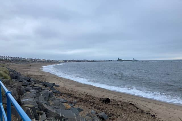
The Met Office has said after a chilly end to the week, we can expect some showers during the next couple of days.
Here’s what its forecasters say the weather will be like across our region for the next week.

What will Saturday and Sunday be like?
Advertisement
Hide AdAdvertisement
Hide AdAs we head into the weekend, we are likely to see some showers during the evening, but they will die out after the evening with a dry night with prolonged clear spells and light winds.
However, this will also lead the way for a cold night, with a widespread frost into tomorrow, with the temperatures expected to drop to as low as -3C.
Saturday will welcome sun during the morning followed by patchy cloud during the afternoon, but it will stay dry.
Light winds are predicted and it will only get as warm as 7C.
Sunday is expected to be chilly and cloudy.
Advertisement
Hide AdAdvertisement
Hide AdSunrise on both days will be around 6.45am and sunset at 5.50pm.
What about the start of the new week?
There will be a milder Monday but it will be cloudy, with some light rain and drizzle, mainly across western hills.
Into Tuesday, it will be cloudy with patchy rain Tuesday and becoming windy.
What does the longer-range forecast say for our region and when could snow fall?
Advertisement
Hide AdAdvertisement
Hide AdThe Met Office says there will be outbreaks of heavier rain will make their way in from the west on Tuesday, as a trend towards more unsettled conditions widely across the UK is likely next week.
The Met Office added: “Further spells of rain and showers will continue spreading in from the west, with some snow possible on high ground in northern parts of the country.
“However, there may also be some drier and brighter interludes at times.
“Throughout this period there is an ongoing potential for windy conditions, with the strongest winds most likely to occur in the west and northwest of the UK.”
Advertisement
Hide AdAdvertisement
Hide AdTemperatures are expected to trend close to average, although some overnight frosts are still possible, mainly in northern parts of the country.