Warning of up to 20cm of snow in Northumberland by Wednesday


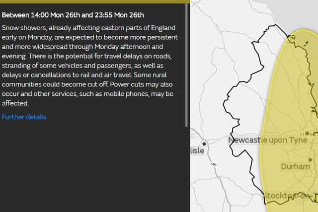
After yesterday's warning of the icy blast from the east bringing snow on Tuesday, it is now believed it will start a day earlier - on Monday at 2pm.
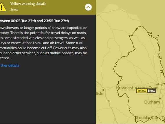
And the Met Office has now issued a third yellow snow warning for Wednesday. The alert currently ends at midnight on Wednesday.


Advertisement
Hide AdAdvertisement
Hide AdSnow showers, already affecting eastern parts of England early on Monday, are expected to become more persistent and more widespread through the afternoon and evening.
The chief forecaster said: "There is the potential for accumulations of 5-10cm in places, while nearby locations may see much less frequent showers and only small accumulations of 0-2cm.
Then longer periods of snow are expected on Tuesday and heavy showers of the white stuff are predicted for Wednesday, with another 10-15cm forecast in places. There is the potential for travel delays on roads, with some stranded vehicles and passengers, as well as delays or cancellations to rail and air travel. Some rural communities could become cut off. Power cuts may also occur and other services, such as mobile phones, may be affected.
The chief forecaster said: "Further snow showers are expected through Tuesday, with the potential for a more organised band of snow to push south-west across many parts of England and Wales through the day. There is uncertainty in the extent of snow. Strong winds will lead to drifting of lying snow, with lightning an additional hazard, particularly near North Sea coasts.


Advertisement
Hide AdAdvertisement
Hide Ad"On Wednesday, showers will bring a large variation in amounts of snow across even small areas with some places seeing very little snow. Lightning could be an additional hazard, particularly near North Sea, Irish Sea and English Channel coasts. By the end of Wednesday, more than 20cm may have accumulated in places in some eastern counties of England, Scotland and Norther Ireland from a culmination of Monday, Tuesday and Wednesday's snow showers."