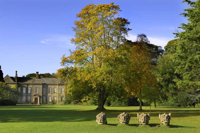
Shining a light on popular site in Northumberland for tree planting project


The autumn and winter project is part of the National Trust’s aim to plant and establish 20million trees by 2030.
Funded by the Government’s Green Recovery Challenge Fund, the £800,000 initiative has used LiDAR (Light Detection and Ranging) to unearth fascinating insights into farming practices and other archaeological aspects of the landscape dating back to 2,000BC – with these areas to be conserved and protected while informing new areas for tree planting, hedgerow creation and river management.
Advertisement
Hide AdAdvertisement
Hide AdThe aerial LiDAR survey, carried out in February, is the biggest ever conducted by the conservation charity across 57 square kilometres of the 5,431 hectare estate.
The results are so detailed that they can often reveal features that are not readily discernible to the naked eye, allowing researchers to penetrate vegetation cover to identify features concealed by trees and undergrowth.
Its programme to plant 13 hectares of woodland with native species and create more wildlife corridors will help the estate’s resident species such as red squirrels, bats and woodland birds.
Paul Hewitt, Wallington’s countryside manager, said: “We have a long-awaited opportunity to make a real, tangible change for nature, wildlife and people here at Wallington.
“We want our visitors to come along on the journey with us too and we’ll be looking at new ways of bringing the work we’re doing on the wider estate to life for members, visitors and supporters.”