
New geological maps of Berwick to help future-proof natural water supply
Nearly a century on from the last geological survey of the Berwick-upon-Tweed area, there are now new maps to help future-proof natural water supply.
The Environment Agency commissioned the British Geological Survey (BGS) to review the geological mapping of the area to inform a new groundwater flow model of the Fell Sandstone Formation.
This work was needed to improve understanding of the regional groundwater system, strengthen the evidence base for water security and support key decisions in the abstraction licensing strategy.
More than 95 per cent of the water supply for the Tweed catchment is provided by groundwater.
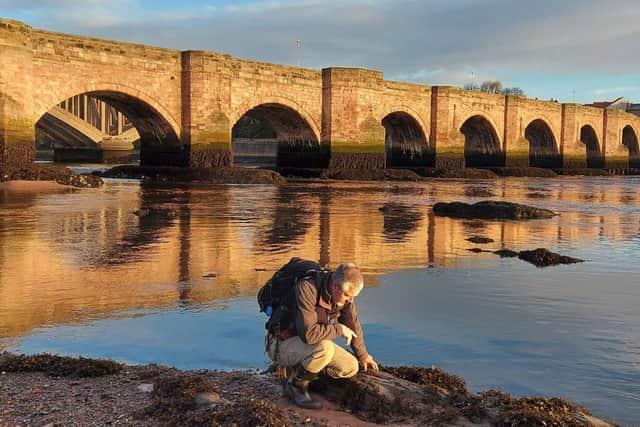

The Fell Sandstone Formation is the principal aquifer supplying drinking water, as well as being a vital resource for farming and industry in the region. Careful management of this critical resource is particularly important in a changing climate.
Ultimately, the mapping of the aquifer will help the agency, water abstractors and the local community to ensure sustainable abstraction and reduce risks from contamination to protect the water quality.
Diane Steele, senior groundwater technical specialist in the Environment Agency’s groundwater and contaminated land team for the North East area, said: “We commissioned the British Geological Survey to undertake this new survey of the Fell Sandstone Formation and surrounding strata to help us undertake our regulatory role in protecting groundwater underlying Berwick and the surrounding area.
“The updated mapping will improve our understanding of the regional groundwater system and any implications on the future availability of water and climate change impacts.

“This will help in considering applications for new abstraction licences or renewals and/or increases of existing abstraction licences where we require good quality and up-to-date information on the water environment.”
The new geological mapping and groundwater modelling have revealed that the local aquifer system is more complex than previously thought.
Tim Kearsey, head of BGS integrated geology, said: “The new geological maps are being used as inputs for groundwater modelling, which is a key tool to better understand the controls on groundwater flow within the aquifer.
“Developing our understanding of the connectivity within the aquifer system is critical for assessing the effects of abstractions and evaluating the potential impacts of both changes in usage and changes in climate, helping to ensure the groundwater resource can support the region well into the future.”