
New geological mapping underway to help manage flooding along the River Tweed
Scientists are surveying the Tweed catchment for the first time in over 100 years to enhance understanding of localised groundwater and improve flood forecasting.
It is a common assumption that flooding arises as a result of intense rainfall. Whilst this is true in many cases, another common cause is actually groundwater flooding – where groundwater emerges at the surface.
British Geological Survey (BGS) geologists have started a four-year project that will enhance knowledge of ground conditions and undertake flood-pattern investigations around the River Tweed.
This survey will provide crucial geological data for local authorities, organisations and others involved in land-management initiatives to the benefit of the 450,000 people who live in or around the Borders region.
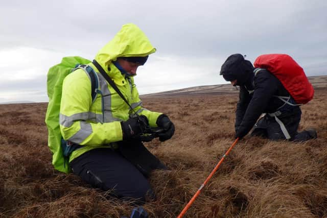

Much of the region was last surveyed in the 1920s (or earlier) and this latest project forms a central part of BGS’s current national geological mapping programme.
Existing maps indicate that the area is dominated either by glacial till or bedrock but, in reality, it is a lot more complex than this with a continuum from bedrock through weathered bedrock, slope deposits and till.
These nuances will be a particular focus for geologists as they are likely to have an effect on how groundwater moves through the shallow subsurface, due to the more open pore space of slope deposits compared to till or bedrock.
Field studies began in the Cheviot Hills before heading to the Tweedsmuir Hills. All fieldwork is completed on foot, making observations about the sedimentary exposures and the form of the landscape.
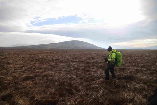
This will be combined with new technologies such as artificial intelligence to create the geological maps.
Sam Roberson, BGS quaternary geologist and Tweed project lead, said: “In the 1920s, geological surveys were performed solely by walkover surveys, but now we are able to take advantage of high-resolution Earth observation data to understand and model these systems.
“Creating new maps using a modern understanding of how ice sheets develop combined with this new data will improve our understanding of this crucial waterway and may enable us to use additional knowledge of ground conditions to assist with land-planning initiatives that will help manage flooding.”
The maps produced from this work will form part of the national geological map.